
ABOUT PCRP
Based in the Northern Mariana Islands, we are a small non-profit devoted to better understanding and improving coastal environments in the Pacific Region.
Since 2016 our work has drawn on a wide-range of expertise and capacities, including environmental planning, marine debris removal, geospatial analysis & mapping, watershed restoration, and coastal hazard adaptation. Whether we’re wrangling a stray wave buoy or cultivating a food forest, we bring a collaborative, creative approach to our work. We like to have some fun while we’re at it!

Follow us on social media to stay up-to-date on PCRP news and happenings.
-
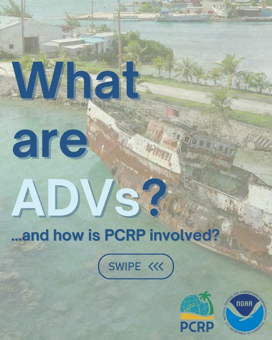
The Micronesia Region encompasses hundreds of islands in a space characterized by industrial fishing operations and roughly one-third of the world’s tropical cyclones. This results in a
substantial amount of large marine debris scattered throughout small communities that have little capacity for removal. In 2023, a location-aware field survey and removal prioritization framework was deployed by Mariana Islands-based Pacific Coastal Research and Planning and Palau-based Coral Reef Research Foundation. Now set to expand across the Region, the survey is enabling partners to collect standardized information related to vessel and buoy wreckage, and hazards to the environment. PCRP is leading a comprehensive effort to remove vessels across Micronesia, properly dispose of materials, work with local contractors, and engage the community through outreach programs.
-
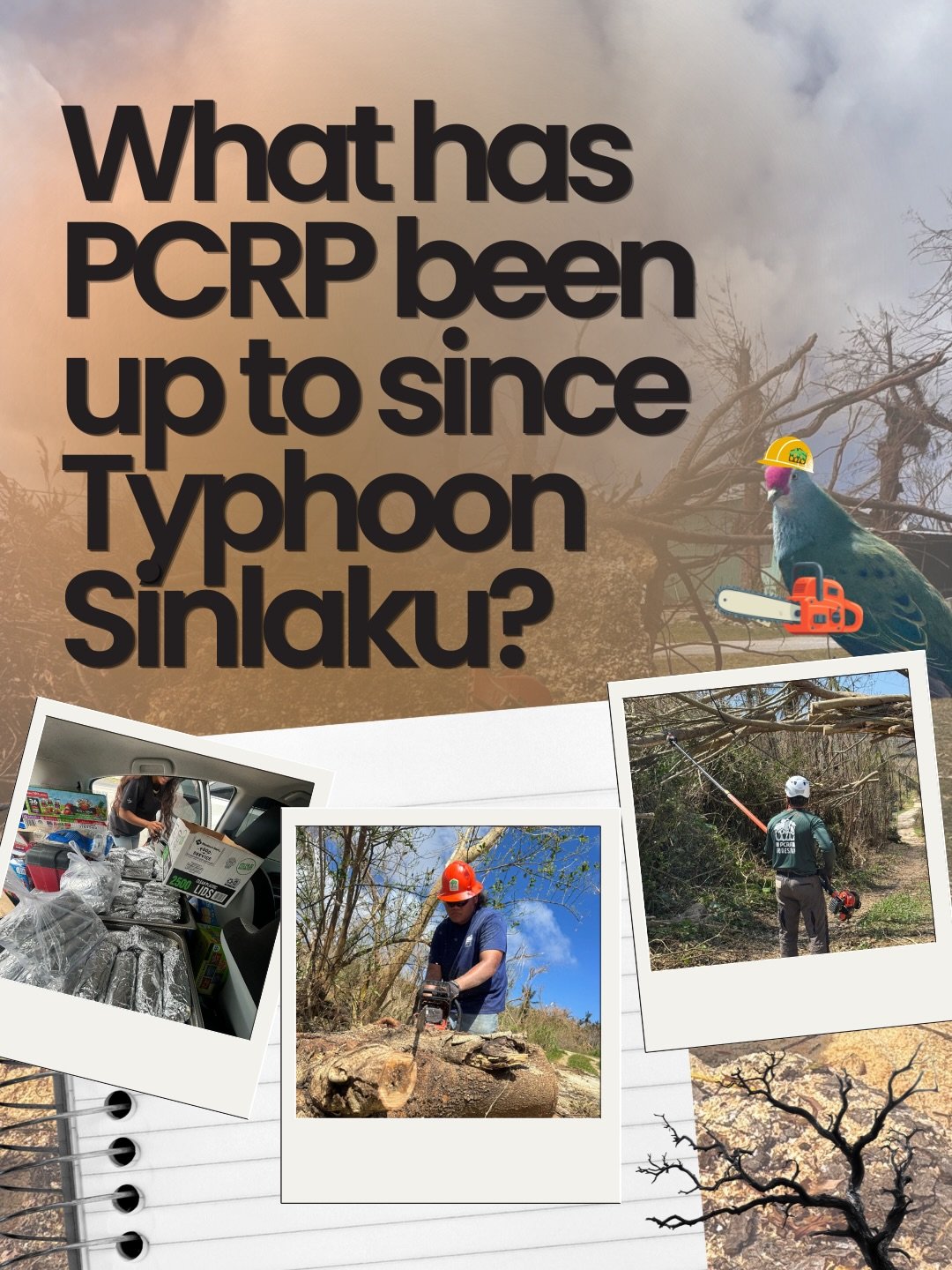
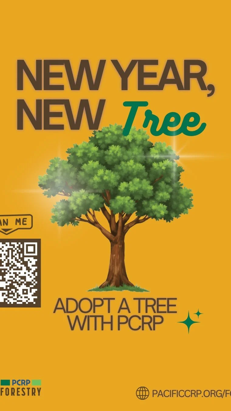
PCRP was awarded an Urban & Community Forestry grant through the U.S. Forest Service to build community resilience and food security in the CNMI. Our efforts are focused on planting native and fruiting trees, removing hazardous trees, and eliminating the invasive African tulip (Spathodea campanulata). In addition, our Forestry Program is working to increase local capacity through job training and expanding local tree nurseries with our partners at DLNR Rota Forestry, Northern Marianas College Cooperative Research Extension & Education Service, and local private nurseries
-
With support from the National Coastal Resilience Fund, NOAA, NFWF, and a constellation of CNMI agencies and organizations, we’ve been working to plan, design, and implement shoreline enhancements and natural solutions to coastal hazards along Saipan’s western coastal plain. From a community visioning process in 2020 to the development of construction bid packages in 2026, we’re leveraging the expertise and knowledge of a diverse team to bring nature-based solutions and shoreline adaptations to life!
Check out our Shorelines Program page to learn more about our current efforts along the Saipan Lagoon and Beach Road corridor.
-
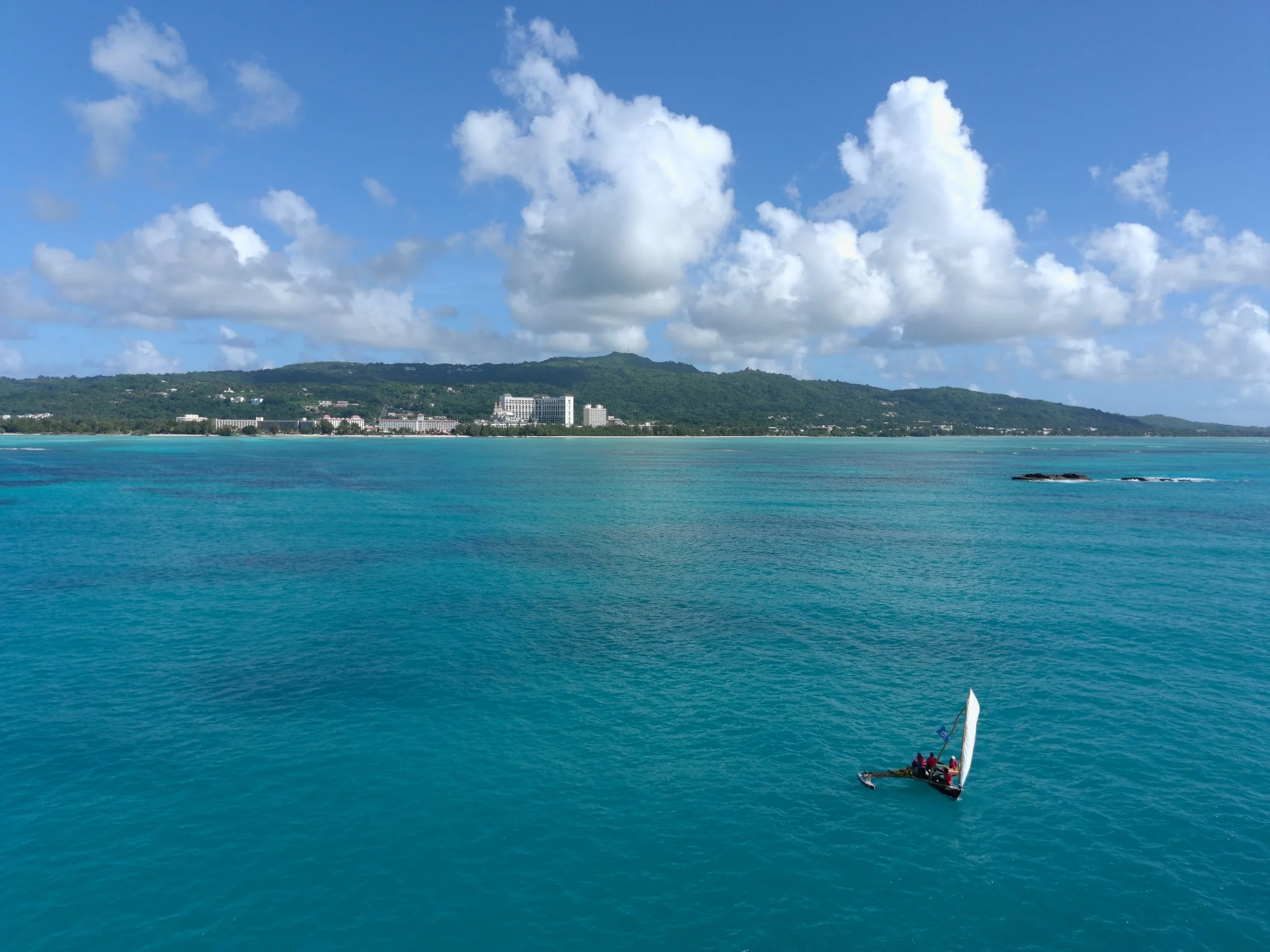
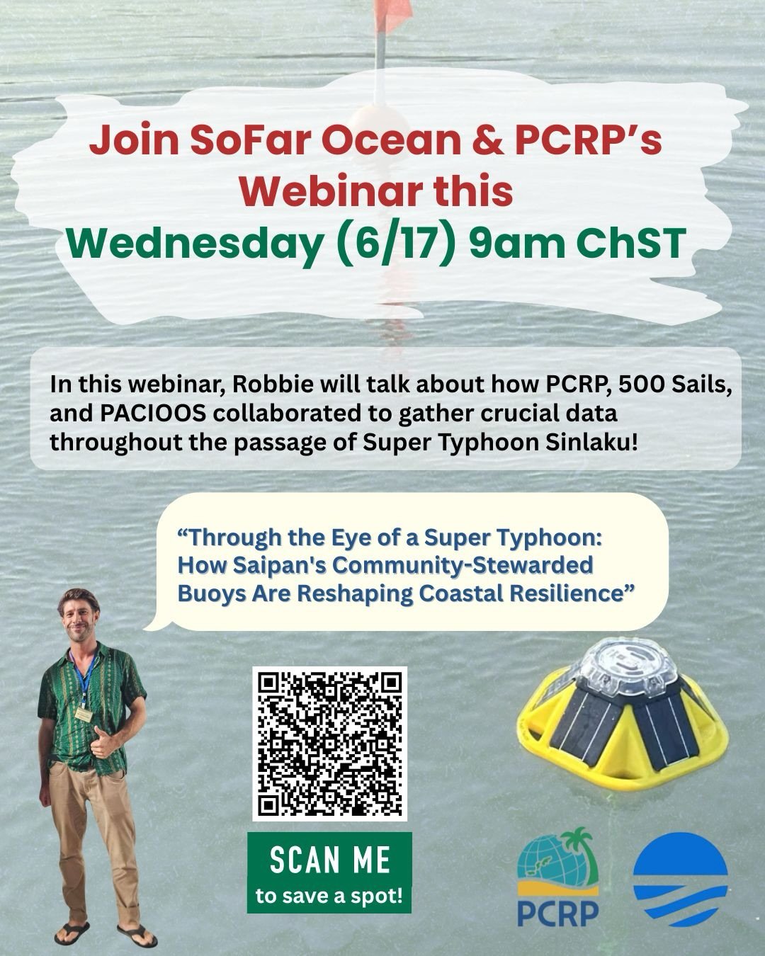
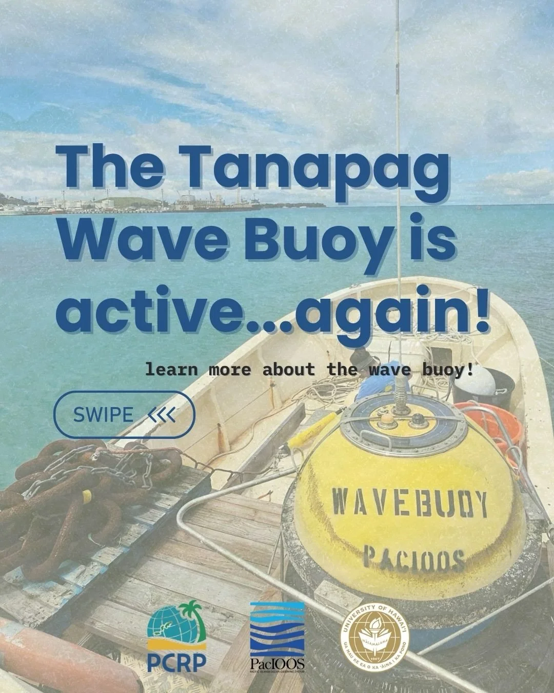
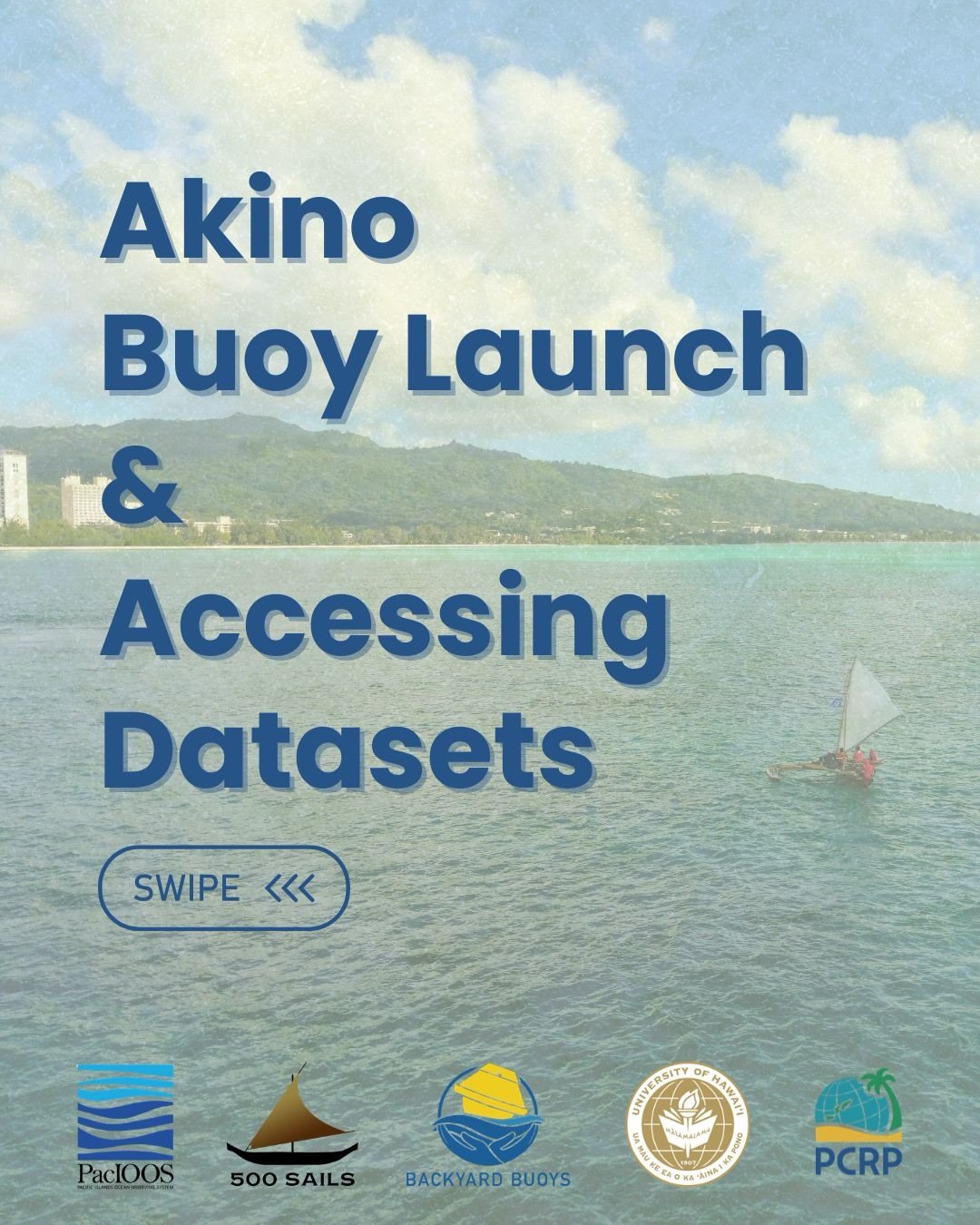
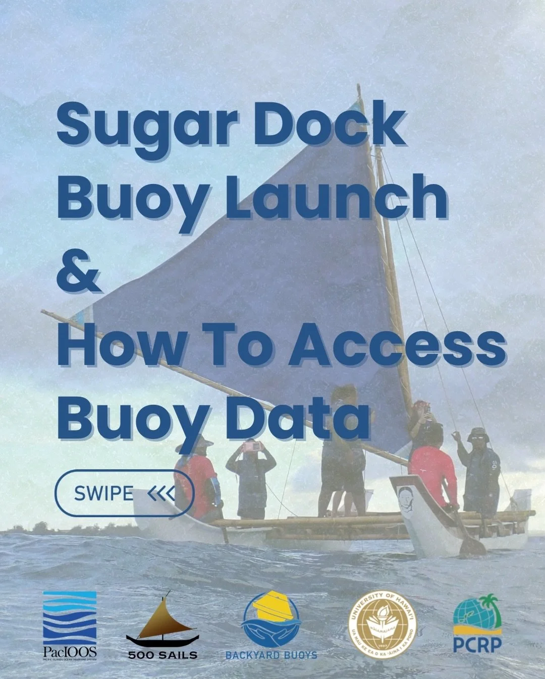
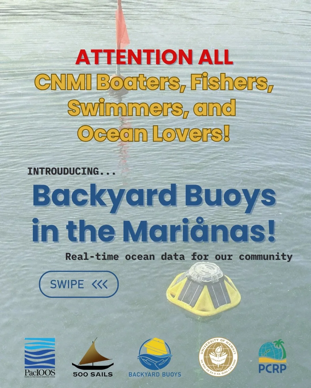
PCRP has the good fortune to serve as CNMI Liaison on the regional Pacific Islands Ocean Observing System team, getting our hands wet in the coordination and stewardship of a variety of ocean observing instruments and programs! As the point of contact and “toes on the sand” for PacIOOS activities in the Northern Marianas, we work with local agencies and organizations to identify partner priorities, implement data collection initiatives, and extend new ocean data and forecasting tools to the community.
Learn more about these efforts on our Ocean Observing page, or explore partner links below:
https://www.pacioos.hawaii.edu/
https://cdip.ucsd.edu/m/about/
https://backyardbuoys.org/
https://500sails.org/
-
PCRP, in partnership with Horsley Witten Group and the Mariana Islands Nature Alliance (MINA), is working with the community to design and implement restoration projects in the CNMI’s priority watersheds (Laolao Bay and Achugao). Stemming from a restoration site prioritization process and driven by stakeholder input, we’re working to revive natural stream and wetland corridors, buffer popular shoreline recreation sites from storms, and keep our school campuses from flooding. Check out our watersheds page for more information.
-
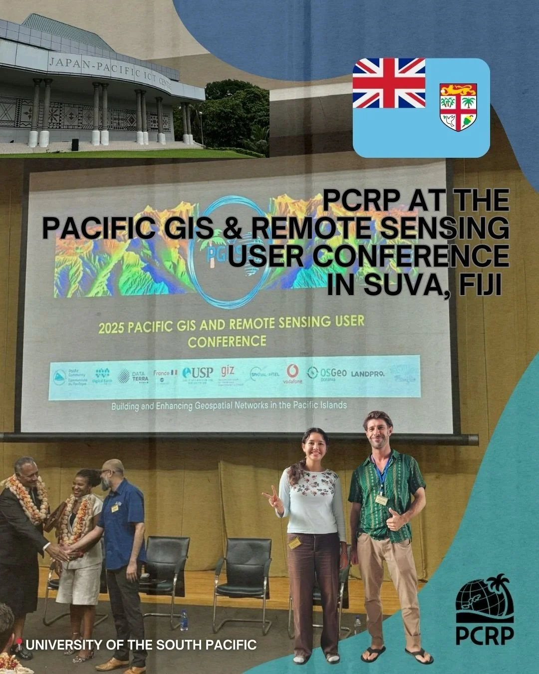
Our work is grounded in data and maps. Whether we’re working on a site-specific design or implementing a resource inventory across an entire region, PCRP leverages geospatial technology and mapping to enhance our work, communicate results, and extend tools and services to island communities. We maintain an active non-profit partnership with ESRI, enabling outreach and extension of resources beyond our day-to-day project work, and participate as an organizational member of the Pacific Islands GIS & Remote Sensing Council and the CNMI GIS User Group.
For a peek at some of the resources we extend, check out the PCRP GeoPortal or our datasets in the Pacific Data Hub. If you’re an individual or organization using GIS in the CNMI and want to engage more, reach out and join the Northern Marianas’ GIS User Group – the Marianas Mappers!
CURRENT PROGRAMS
-
Geospatial Capacity Building workshops and technical assistance to the CNMI Department of Public Works (2025-2026)
Geospatial technical assistance and app development for the CNMI Broadband Policy and Development Program and web portal (2024)
Community Use and Perceptions of Coral Reef Environments: Socioeconomic survey implementation support for NOAA National Coral Reef Monitoring Program (2024)
Custom design and cartographic production of Micronesia-centered classroom world maps for the CNMI Public School System (2024)
Tsunami Inundation and Evacuation Mapping for the Islands of Saipan, Tinian, and Rota (2022 - 2023)
Delineation and Mapping of Tinian North Field National Historic Landmark (2022 - 2023)
Assessing the Geography of Boat-Based Fishing Effort in the Marianas EEZ (2022-2023)
Re-Districting Plan for the CNMI and Technical Assistance to the 22nd Commonwealth Legislature (2021 - 2022)
Shoreline Stabilization and Enhancement Plan for the Beach Road Pathway, Saipan, CNMI (2020 - 2022)
Community Development Block Grant - Hazard Mitigation Plan for CNMI (2021 - 2022)
Mapping forest stewardship priority areas for the Northern Mariana Islands (2022)
Removal of the Derelict Fishing Vessel F/V Lady Carolina from the Reef of the Saipan Lagoon (2016 - 2022)
Update of the CNMI 10-Year Forest Action Plan (2020-2021)
Outreach and Capacity Building for Terrestrial Conservation and Forest Management in CNMI (2021)
CNMI Recreational Mooring Buoy Program Enhancement and Maintenance (2017 - 2019)
Revision and Update of Marine Protected Area Monitoring & Evaluation Tool (2017)
Natural Resource Condition Assessment for American Memorial Park (2016 - 2017)
Mapping Coral Reef Fisheries in Guam and the CNMI (2016 - 2017)